missouliananglershop
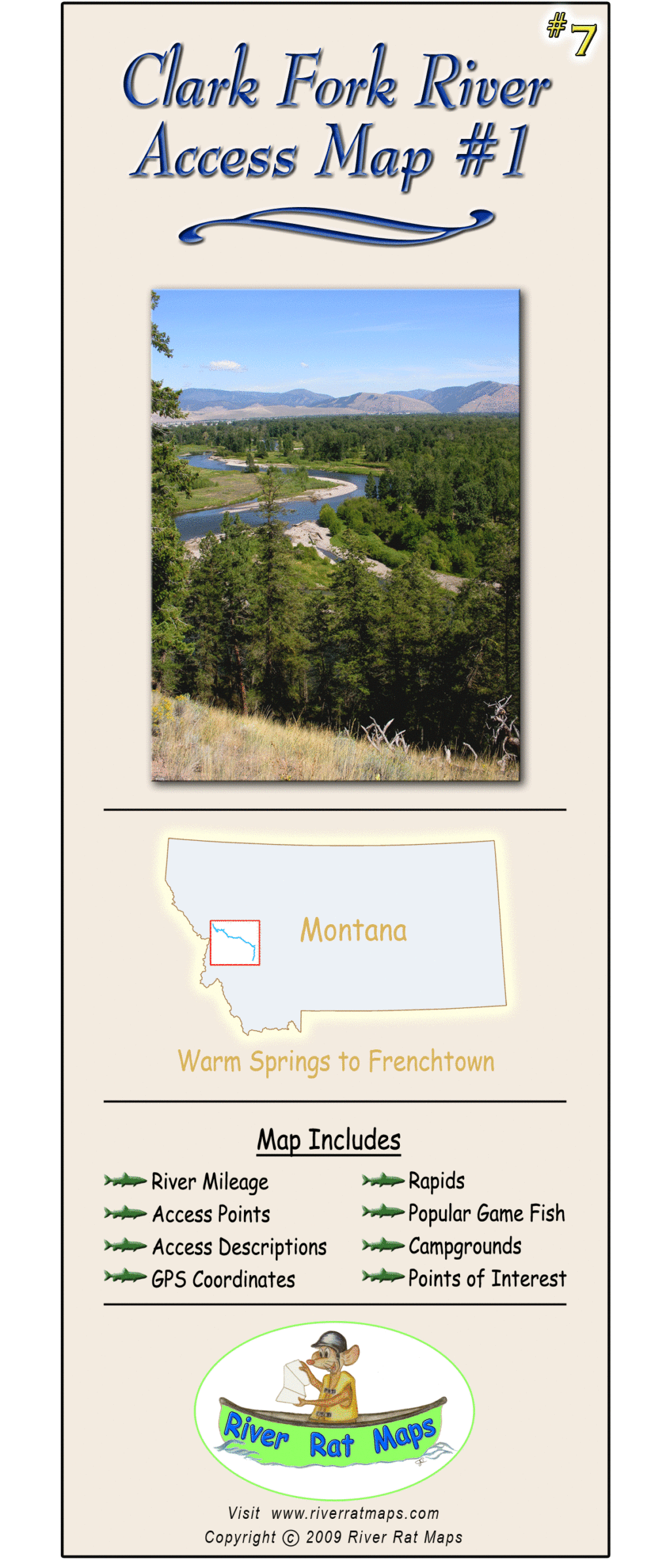
Clark Fork #1 River Access Map – Montana River Access Map
Clark Fork #1 River Access Map – Montana River Access Map
Couldn't load pickup availability
Dial in your next Montana fly fishing adventure with River Rat’s Upper Clark Fork River Map, covering the entire stretch from Warm Springs to Frenchtown. This ultra-durable, waterproof map details river miles, fishing access sites, public land boundaries, boat launches, campgrounds, and nearby roads—everything you need for a seamless Clark Fork float trip.
Packed with local insights like hatch timing, land ownership, and notable features, this is more than just a map—it’s your on-the-water game plan for chasing trout through some of the most overlooked (and rewarding) water in western Montana.
Perfect for:
-
Fly fishing the Upper Clark Fork
-
Planning multi-day float trips
-
Discovering new public access points
-
Navigating changing river conditions
Share