missouliananglershop
Clark Fork #2 River Access Map – Montana River Access Map
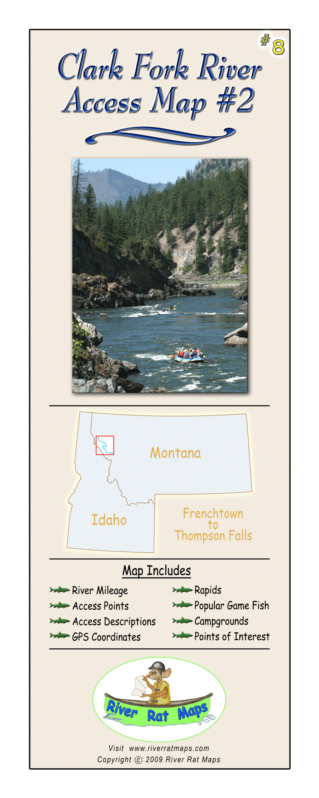
Clark Fork #2 River Access Map – Montana River Access Map
Couldn't load pickup availability
Dial in your float from Frenchtown to Thompson Falls with River Rat’s Clark Fork #2—a waterproof, tear-proof fly fishing map built for anglers who live for long floats and hungry trout. Covering the lower Clark Fork River, this detailed map highlights boat ramps, public access points, land ownership boundaries, mileage between takeouts, and suggested campsites for multi-day floats.
Perfect for Montana fly fishing trips, this stretch of the Clark Fork River offers incredible scenery, big fish potential, and long, driftable water. Whether you’re chasing summer hatches, throwing streamers from a drift boat, or scouting for your next overnight trip, this river map will keep you on course.
Features:
-
Covers Frenchtown to Thompson Falls
-
Waterproof & tear-resistant
-
Shows public access, boat ramps, river miles, and more
-
Built for fly fishers, guides, and serious floaters
A must-have for anyone planning a Clark Fork float trip or exploring the best fly fishing rivers in Montana.
Share