missouliananglershop
Upper Missouri River Access Map #2 – Montana River Access Map
Upper Missouri River Access Map #2 – Montana River Access Map
Couldn't load pickup availability
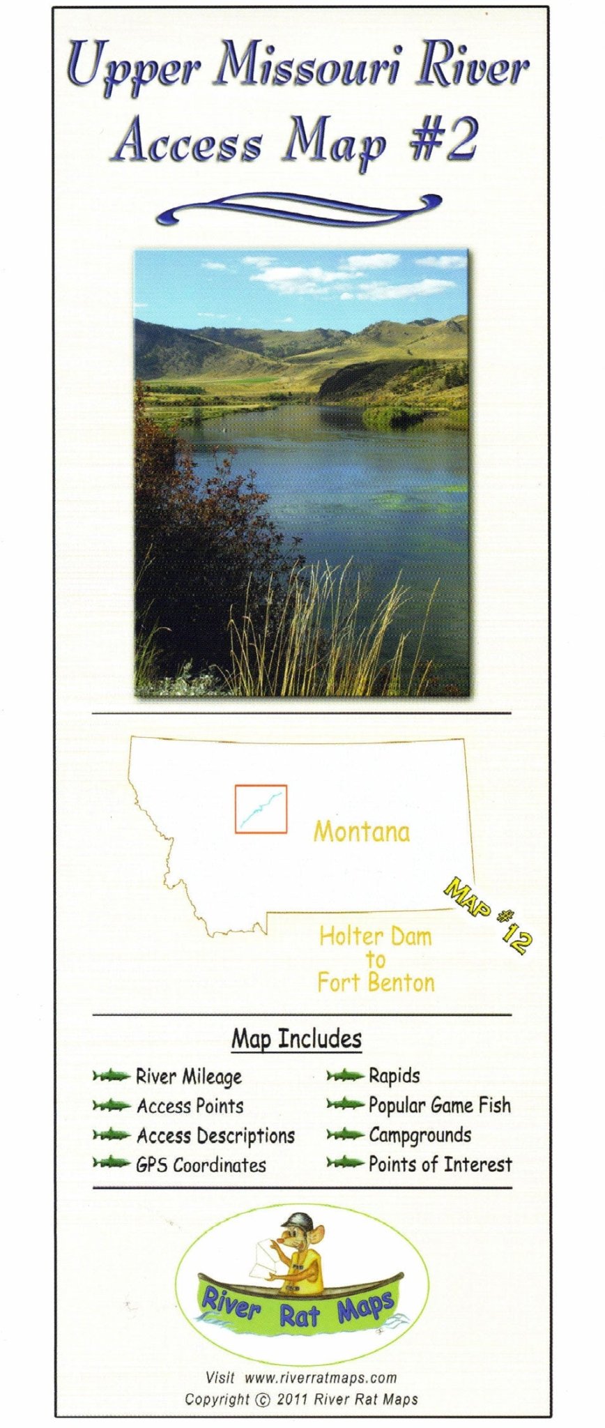
Plan the perfect float with the Upper Missouri River River Rat Map, your go-to guide from Holter Dam to Fort Benton. Designed for fly fishing fanatics and float trip planners, this waterproof and tear-resistant map highlights boat ramps, campgrounds, public fishing access sites, and notable trout fishing spots along one of Montana’s most iconic blue ribbon rivers.
Whether you're casting to rising trout on the Missouri’s legendary tailwater or drifting past the White Cliffs, this map gives you the insider info you need—including hatch notes, float mileage, and local fly shop tips. Ideal for DIY anglers, guides, and Missouri River float trips, it's a must-have for exploring the river Lewis & Clark made famous.
Share